
Bettendorf Neighbor Sources by Block
Each block source answers a narrow question. The parcel map is best for physical adjacency. One Stop connects a street address to city activity. Historical directories and Sanborn maps show an older block, not today's residents.
| Source | What It Shows About a Block | Access |
|---|---|---|
| Beacon parcel map | Parcel shapes, numbers, owner link, map context | Free county landing and viewer |
| Bettendorf One Stop | Permits, licenses, planning and code cases | Free basic search; 200-row CSV |
| Iowa DOT city map | Roads, highways, sections and corporate lines | Public PDF |
| USPS lookup | ZIP for a complete mailing address | Free address query |
| DPL directories and Sanborn maps | Old building footprints, household heads, businesses | Library and selected digital items |
| Voter list | Lawfully ordered jurisdiction fields | Signed purpose, fee, Iowa Code limits |
| Cedar Tree HOA | Association identity and meeting pattern | Public page; member area private |
Ownership is not occupancy. Non-owner adults, children, guests, roommates, and mail recipients are not promised on a parcel card. A block search should report what the roll says, not turn an inference into a household claim.
Map Bettendorf Neighbors by Parcel
Open the Scott County Parcel and Map Service from its official landing page. Search a verified Bettendorf address and select the matching parcel. The county confirms that the service covers Bettendorf and provides parcel and map data, but the dynamic viewer's exact controls can change.
- Record the starting parcel number, situs address, owner link, and map date.
- Zoom until the whole block and neighboring parcel polygons are visible.
- Select each touching polygon and log its parcel number, situs address, and owner or tax-card link.
- Mark whether each edge is a street, alley, river, common area, condominium tract, or parcel line.
- Use the Recorder only when a deed or legal-description question remains.
If click-to-select is unavailable, pan and choose polygons one at a time. Do not assume that the viewer has a buffer, radius, measure, or export tool unless the live screen shows it. For a whole named road rather than the immediate radius, use the Bettendorf street directory workflow.
Decode Bettendorf Block Boundaries
A parcel is a tax and land-record unit. Its situs address is the physical location used by the assessor. The mailing address is where tax notices go and can be outside Bettendorf. A legal description identifies land through subdivision, lot, block, section, township, range, or metes-and-bounds language.
- Adjacent parcel
- A land unit sharing a mapped boundary with the starting parcel.
- Common area
- Land held for shared use, often inside a planned development or association.
- Easement
- A recorded right to use part of land for access, utilities, or another stated purpose.
- Plat
- A recorded drawing that lays out lots, blocks, roads, and boundaries.
A narrow common strip can make two households look separated, while a large corner parcel can touch several lots. Keep the map geometry beside owner information.
Check Bettendorf Block Activity
Bettendorf One Stop search help documents searches by address, contractor or license holder, reference or case number, plus advanced record type, date, keyword, and district fields. Public results cover current permit, license, planning, and code data. Basic search is free. Advanced search uses a free login, and exports are capped at 200 records.
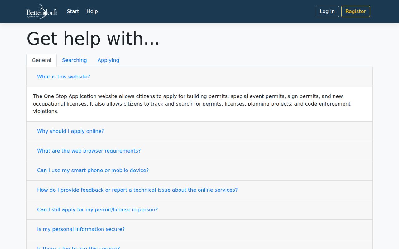
The captured help page makes One Stop useful for a block's city-record clues without treating a permit applicant as a current occupant.
A permit can show work tied to an address and date. A code result can show a city case. Neither proves who now lives there. If the needed city file is absent, use the City Attorney or City Administrator chapter 22 request route and specify address, record type, and dates.
Bettendorf Voter Lists Have Limits
The public Iowa voter lookup is not an open screen for all voters on one block. It requires a person's name, ZIP, house number, and birth date, then returns polling-place information. Full voter data uses the Iowa voter-list request process, which requires a signed lawful-use statement, payment, and can take up to 14 days.
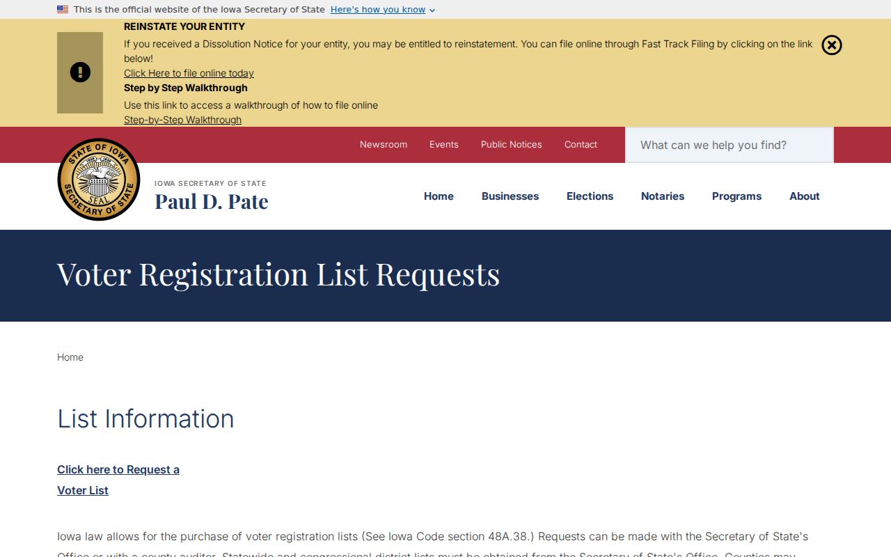
The state page shows why a purpose-certified order is different from a casual block lookup.
An order may specify jurisdiction, active, inactive, or pending status, contact-only or participation fields, and election history. Social Security, driver's-license, and nonoperator-ID numbers are excluded. Iowa Safe at Home and other protected registrations may be withheld or replaced. Never publish an address-by-address voter roster.
Cedar Tree Connects Bettendorf Neighbors
Bettendorf's city site does not publish a complete neighborhood-association directory. A 2015 comprehensive-plan packet encouraged resident-run associations, but it is policy evidence rather than a current roster. Cedar Tree Village is one documented local association, not proof that it is the only one.
Cedar Tree Village HOA
PO Box 1438
Bettendorf, IA 52722
Meetings are generally held the third Monday at 6:30 p.m., usually at Bettendorf Public Library. Confirm the current schedule.
City Boards and Groups
City, parks, library, and Friends pages identify civic groups, but those bodies are not neighborhood household directories.
The Cedar Tree Village association page is captured here.
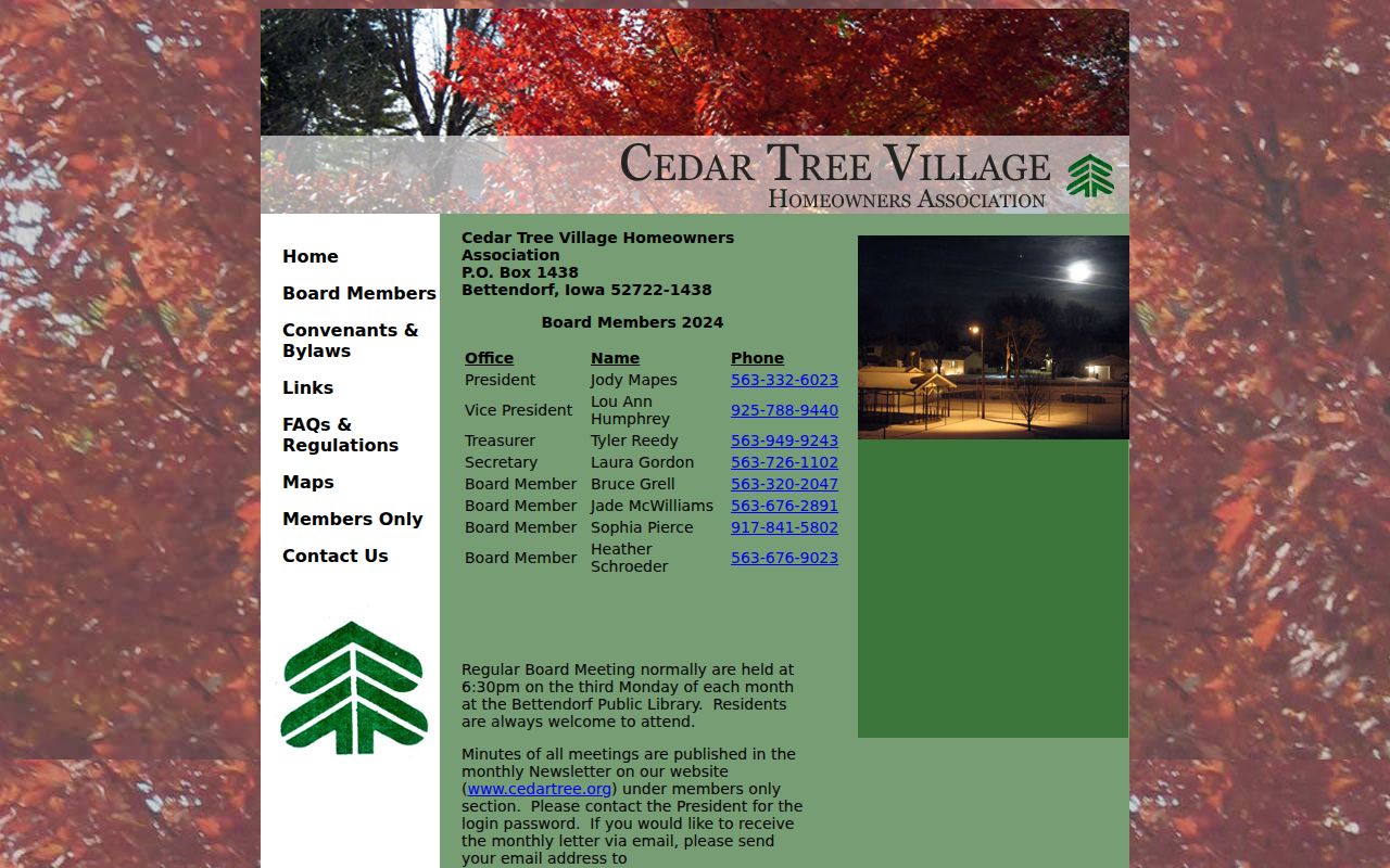
The public page confirms the association and meeting pattern. Minutes and member information sit behind a newsletter or password area and should not be copied into a public neighbor file.
Recover Earlier Bettendorf Neighbors
Richardson-Sloane Special Collections holds Davenport directories from 1855 forward, with address sections beginning in 1890–91 and some volumes that include Bettendorf. Sanborn maps can add building footprints and uses. Pair a directory year with a map from the same period, then check census, tax, permit, newspaper, church, or probate records.
The Scott County cemetery index supplies a different endpoint for some past residents. Its coverage FAQ says transcriptions cover 39 rural cemeteries and notes gaps for cemeteries in Bettendorf, Davenport, and LeClaire.
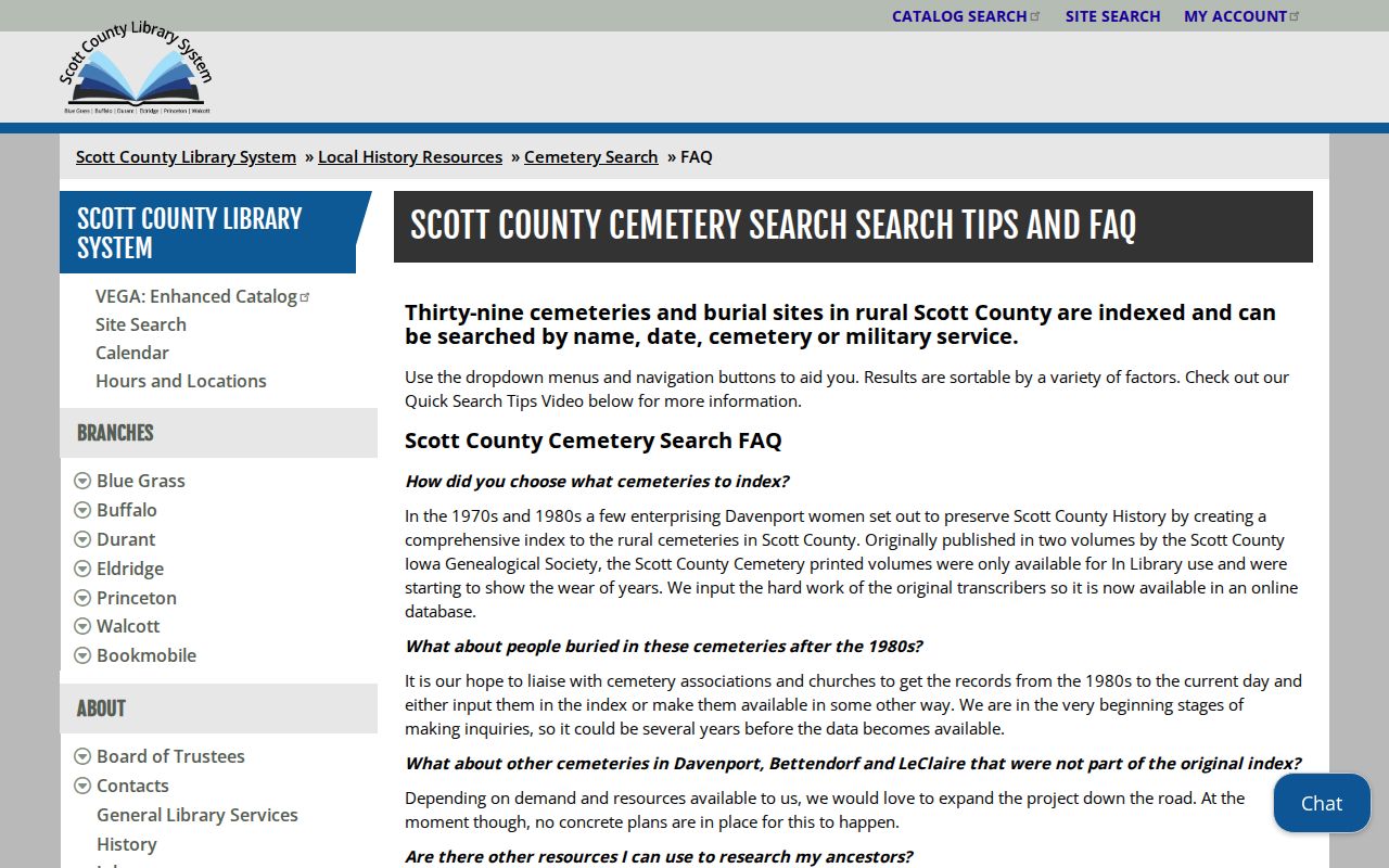
The scope warning prevents a blank cemetery result from being misread as proof that a former neighbor was not buried locally.
Addresses can change, and directory titles may use Davenport even when a volume includes Bettendorf. Preserve the printed title, exact year, and street spelling before linking a historic entry to a modern parcel.
Choose Sound Bettendorf Block Evidence
Official rolls and commercial neighbor tools serve different purposes. Official sources identify their custodian, fields, date, and legal boundary. Commercial compilations may blend old directories, marketing files, phone data, and public records without a clear source date.
| Question | Official Block Sources | Commercial Compilations |
|---|---|---|
| Who owns the parcel? | Assessor card and recorded deed | May repeat stale ownership |
| Who occupies it? | No complete public household roll | May infer or merge names |
| What changed? | Permit, deed, map, dated directory | Source date may be unclear |
| How is an error fixed? | Contact the named custodian | Use the provider's correction process |
A dated official record can still contain an error, but it lets the reader trace the fact to the office responsible for it. A commercial profile should not override a parcel ID, deed, or current city record.
Bettendorf ZIP Labels Mislead Maps
USPS's “BETTENDORF IA 52722” processing label group includes rural and Illinois destination ZIPs, so it is not a map of city limits. Verify the complete mailing address through USPS and check the Iowa DOT Bettendorf map for the corporate line. Then return to the parcel viewer for ownership.
The distinction matters near the edge of the city. Postal city, municipal boundary, situs address, and legal description belong to different systems. A nearby mailing label does not by itself prove that two parcels share a Bettendorf neighborhood.
Note: Save the exact address query, parcel IDs, map date, and postal result so a block search can be repeated after readdressing or a parcel split.
Protect Privacy Around Bettendorf Blocks
Parcel maps do not reveal all people in a home. Utility customers, children, guests, roommates, vehicle owners, and mail recipients are not a public household list. Driver-address data is protected by the federal DPPA. Vital, court, voter, and Safe at Home records each shield sensitive fields.
Association membership must not be inferred from parcel location unless public bylaws or association records establish it. Even then, private phone numbers, newsletters, passwords, and member contact lists stay private. Keep a person's name attached to the source, date, parcel, and record type to avoid same-name merges.
Lawful use. Look up Bettendorf neighbors for block knowledge, reconnection, or personal safety. Never watch, harass, threaten, or expose another person.